Ukraine Chapter
Contact InformationChapter Lead: SCGIS Email: [email protected] Website: http://scgis.org.ua/ Chapter Officials:
DescriptionThe goal of SCGIS Ukraine is to:
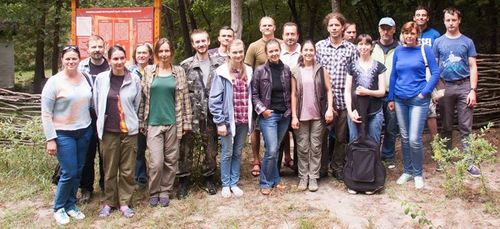
Over the last several years members of our community have organized six conferences of GIS users for nature conservation. There were a lot of presentations, discussions and workshops. Up to 30 participants took part in the conferences in different years. For more details, please visit our website (opens in new tab) Team of the SCGIS Ukraine leads several volunteer projects in our community (links open in new tabs):
Contacts (links open in new tabs)Upcoming eventsThis year our annual «GIS and protected areas» conference moved to online and will be implemented as a series of webinars which will be held from June 5 to 8, 2020. The schedule is still being finalized participants will study modern GIS and spatial data related technics and methodologies to be used into the nature protection and scientific researches. |

